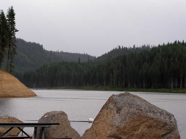
Deer
Creek reservoir is located 13
miles northeast of Provo and 7 miles southwest of Heber, Utah. This
reservoir
is used to provide drinking and irrigation water to the residents of
Utah and
Salt Lake Counties. Deer Creek reservoir is one of the most popular
recreational
areas for camping, swimming, fishing, boating and other aquatic
activities in Utah.
Because of its proximity to Brigham Young University (BYU), the
reservoir is an
excellent location for field research. BYU students have collected
water-quality samples
during the Spring, Summer, and Fall months from 2008 into 2012. The
research team is working on
generating
a model of the reservoir using a hydrodynamic model known as CE-QUAL-W2
to
study nutrient and algal processes. Additionally,
Deer Creek reservoir
inflow is largely governed by the operations of Jordanelle Dam,
providing
excellent flow records and the ability to develop field experiments
that
require prior inflows records. Furthermore, Deer Creek
is the primary water supply for Utah County and addressing
water-quality problems at Deer Creek provide a significant benefit to
the region.
The reservoir is primarily managed by the U.S.
Bureau of Reclamation (Reclamation)
and Central Utah Water Conservancy District
(CUWCD).

